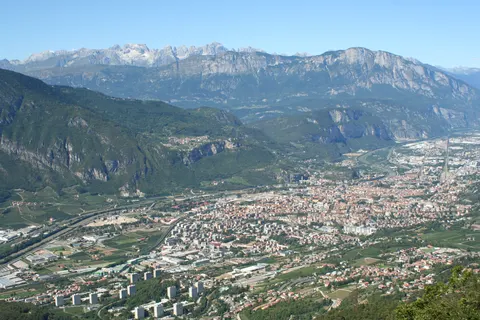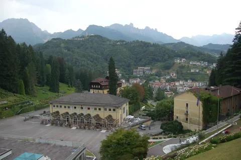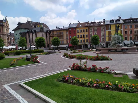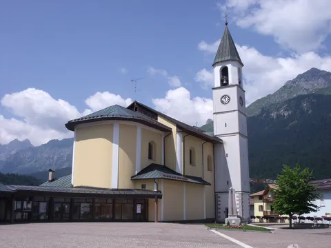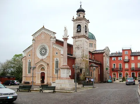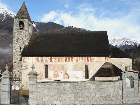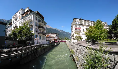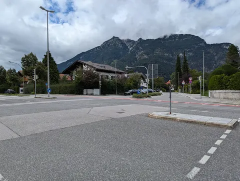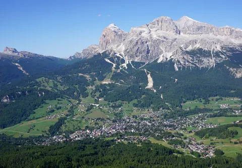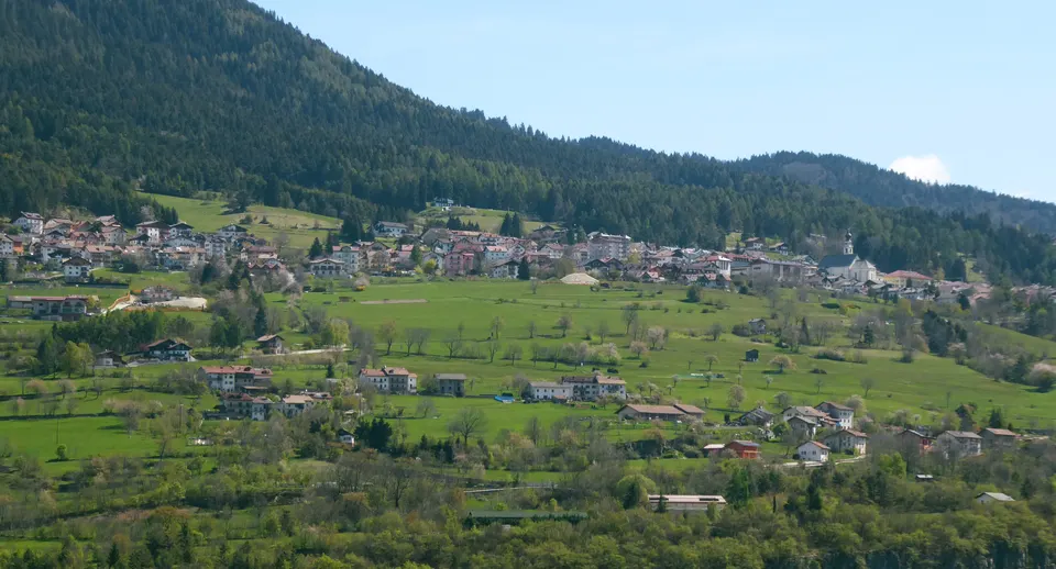

Folgaria is an Italian municipality in the Autonomous Province of Trento, in Trentino-South Tyrol. It lies on the western slope of the Altipiani cimbri, at 1168 metres above sea level, at the foot of Mount Cornetto.
With about 1,601 inhabitants, Folgaria lies in Trentino-Alto Adige, Italy.
Why go to Folgaria?
The villages of the municipality sit along the Rio Cavallo and the upper Astico valley, with Passo Sommo separating the two valleys. The Cimbrian language was widespread here around 1500 and persisted until the early 1960s, and many place names still bear its traces. Folgaria was one of the first free municipalities in Trentino.
When is the best time to visit Folgaria?
Average highs range from 2 °C in January and December to 21 °C in July. Skiing works best in January, February and December. June, July and August are the time for nature and hiking trips.
How do I get to Folgaria without flying?
Direct bus services link Folgaria with 5 destinations. Allowing for changes, 1,486 destinations are no more than 14 hours away without flying. Asiago is 45 min away by bus, with about 0.7 kg of CO₂ per person. The bus from Andalo takes 1h 45m; that is about 0.8 kg of CO₂ per person. From Recoaro Terme, it takes 1h 30m by bus, with about 0.7 kg of CO₂ per person.
What to do in Folgaria
Castel Beseno
A castle in Folgaria.
Monte Finonchio
A mountain in Folgaria.
Skiing in Folgaria
January is the ideal month for skiing, with average highs of 2 °C.
Nature and hiking trips in Folgaria
June is the ideal month for nature and hiking trips, with average highs of 18 °C.