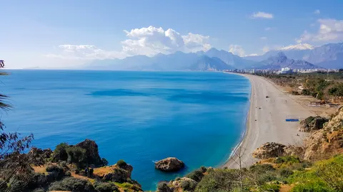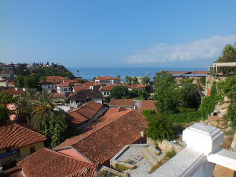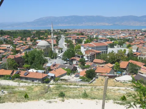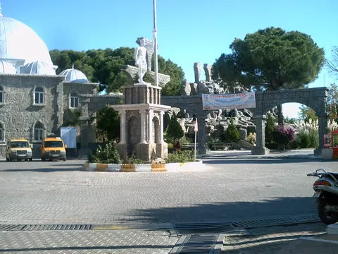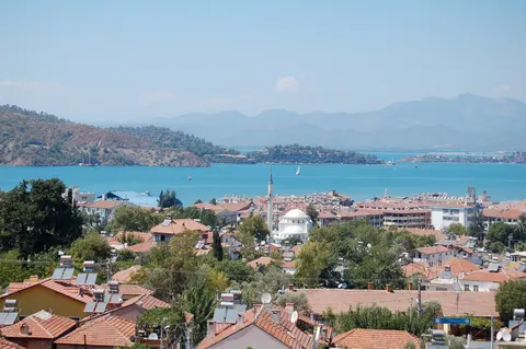

Korkuteli is a municipality and district of Antalya Province in Turkey, lying about 56 kilometres north-west of the city of Antalya. It belongs to the Bey Dağları, the western range of the Taurus Mountains, and overlooks the Mediterranean. Its lowlands near the coast have a hot Mediterranean climate, while the larger area of lakes higher up is cooler and less humid. The district was once called İstanoz or Stenez, and its main town has about 15,000 people.
Korkuteli, in Antalya, Turkey, is home to about 20,000 people.
Why go to Korkuteli?
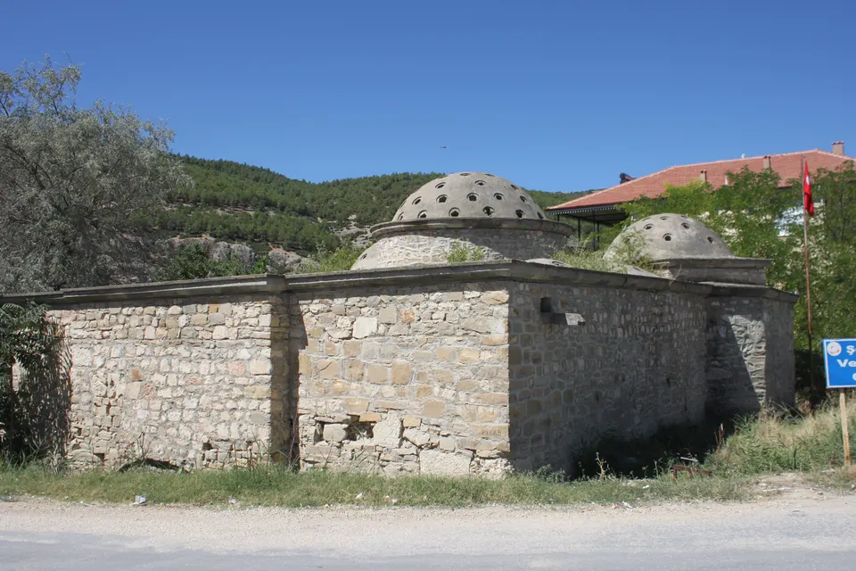
Korkuteli combines mountain country with an agricultural lowland. The higher areas are covered in pine forest, with trout in the Korkuteli reservoir and other small lakes, while the lowlands grow grains, pulses and oilseeds. Since the 1960s, irrigation has built a thriving fruit-growing industry, and roadside stalls selling fruit line the routes to the coast. Its history runs deep: Roman and Byzantine buildings such as the Keşiş Evi, or priest's house, survive, and the Hamidoğlu Medrese carries Latin inscriptions. The Seljuk mosque of Sultan Alaadin, along with several tombs and hamams, dates from the Seljuk period.
When is the best time to visit Korkuteli?
In July the average high reaches 30 °C; in January it is closer to 7 °C.
How do I get to Korkuteli without flying?
Korkuteli has direct bus links to 2 destinations. Within 14 hours, travellers from 62 destinations can get here without flying. The bus from Antalya takes 1h 12m; that is about 1.3 kg of CO₂ per person. Muratpaşa is 1h 12m away by bus, with about 1.5 kg of CO₂ per person.
What to do in Korkuteli
Travel on from Korkuteli
Direct links run to Antalya and Muratpaşa.
Compare the trip with flying
The trip planner compares train, bus and ferry options to Korkuteli with a flight, including CO₂.
The warmest months
July is the warmest, at 30 °C.