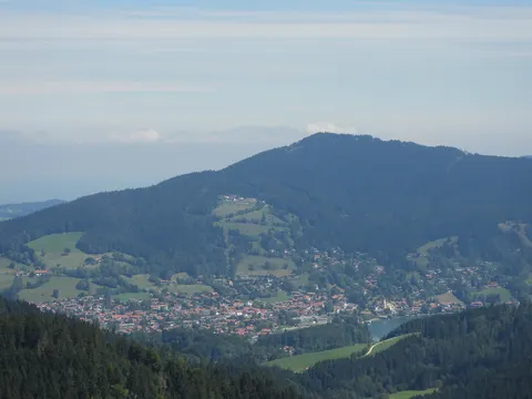
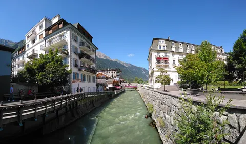
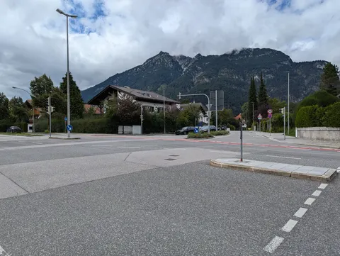
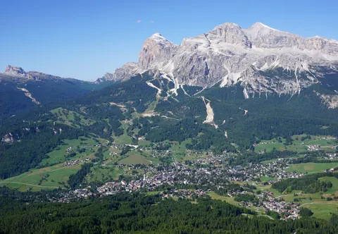
Lenggries is a municipality and village in Bavaria, Germany, and the centre of the Isarwinkel, the region along the Isar between Bad Tölz and Wallgau. The town has about 9,500 inhabitants. It lies on the Isar River where the valley opens into the Alpine foothills, about 700 metres above sea level.
Lenggries, in Bavaria, Germany, is home to about 9,432 people.
Why go to Lenggries?
Lenggries is a mountain base for the Isarwinkel. The Brauneck, the home mountain of the town, rises above 1,555 metres and is a well-known ski area tied together by lifts. The railway reached the town in 1924, and tourism became important to its economy from then on. Hikers and skiers use the mountains to the east and west, with the Tegernsee Mountains on one side and the Brauneck on the other.
When is the best time to visit Lenggries?
In July the average high reaches 22 °C; in January and December it is closer to 2 °C. If you are after skiing, aim for January, February and December. Nature and hiking trips work best in May, June and September.
How do I get to Lenggries without flying?
Lenggries has one direct link, by train. Within 14 hours, travellers from 2,514 destinations can get here without flying. The train from Munich with Bayerische Oberlandbahn takes 1h 04m; that is about 0.9 kg of CO₂ per person.
What to do in Lenggries
Brauneck
The home mountain of Lenggries, a ski area with lifts that is popular in winter and in the walking season.
Church of St. James
A church in the Italian Baroque style, built in the early 18th century.
Hohenburg
A medieval castle ruin above the town, with a calvary hill nearby.
Heimatmuseum Lenggries
The local home museum, which shows items from the history of the town and its surroundings.