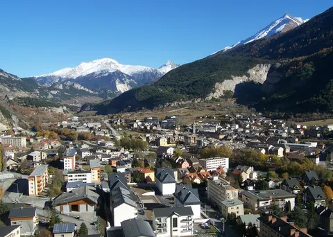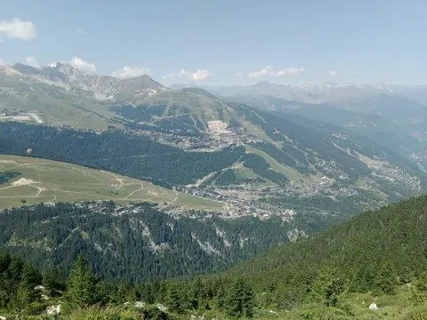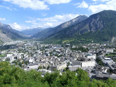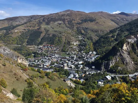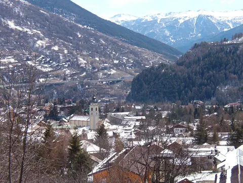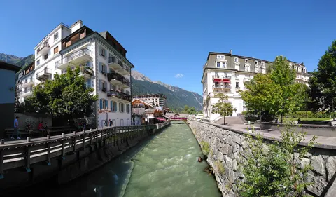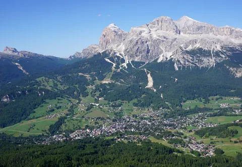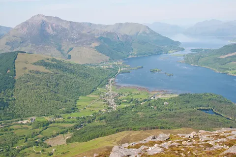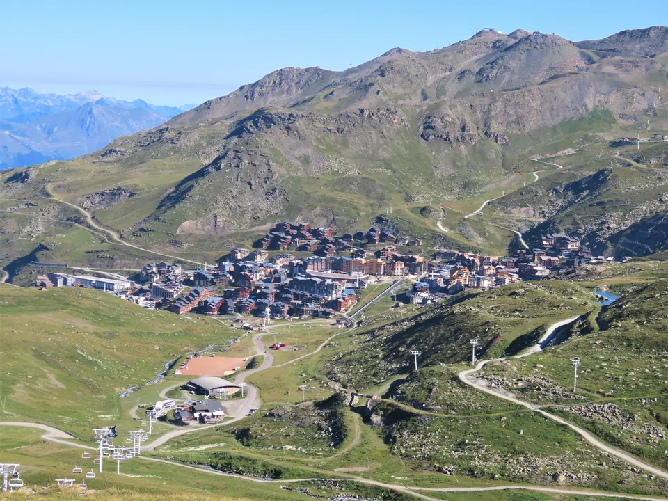

Val Thorens is a ski town in the Tarentaise Valley of the French Alps, at an altitude of 2,300 m. It lies in the commune of Les Belleville, in the Savoie department. The resort forms part of the Les Trois Vallées ski area, one of the largest linked ski areas in the world.
With about 2,500 inhabitants, Val Thorens lies in Auvergne-Rhône-Alpes, France.
Why go to Val Thorens?
Val Thorens sits high in the Alps, and its main draw is its place inside Les Trois Vallées, a linked ski area with over 600 km of slopes.
When is the best time to visit Val Thorens?
Average highs range from -8 °C in January to 14 °C in July and August. Skiing works best in March, April and November. June, July and August are the time for nature and hiking trips.
How do I get to Val Thorens without flying?
There are no direct train, bus or ferry links to Val Thorens yet. The trip planner can still look for a route with changes.
What to do in Val Thorens
Les Trois Vallées ski area
A linked ski area with over 600 km of slopes, one of the largest of its kind in the world, which the resort is part of.