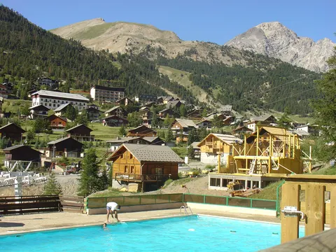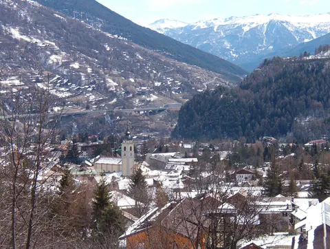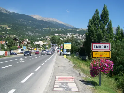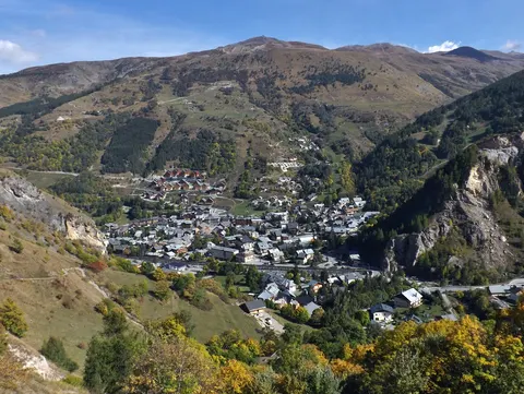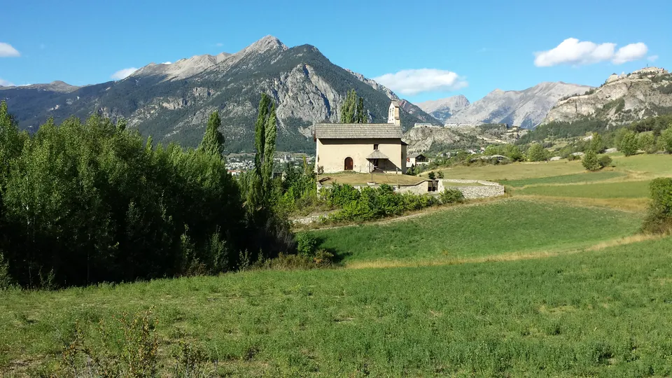

For skiing and nature and hiking trips, Villar-Saint-Pancrace is well worth a look. Pont d'Asfeld is among its sights.
Villar-Saint-Pancrace, in Provence-Alpes-Côte d'Azur, France, is home to about 1,528 people.
When is the best time to visit Villar-Saint-Pancrace?
In July and August the average high reaches 22 °C; in January and December it is closer to 0 °C. If you are after skiing, aim for January, February and December. Nature and hiking trips work best in June, July and September.
How do I get to Villar-Saint-Pancrace without flying?
Villar-Saint-Pancrace has direct bus links to 2 destinations. Within 14 hours, travellers from 1,703 destinations can get here without flying. The bus from Guillestre with ZOU ! Proximité takes 47 min; that is about 0.6 kg of CO₂ per person. Puy-Saint-Vincent is 37 min away by bus with ZOU ! Proximité, with about 0.3 kg of CO₂ per person.
What to do in Villar-Saint-Pancrace
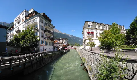
Pont d'Asfeld
A bridge in Villar-Saint-Pancrace.
Skiing in Villar-Saint-Pancrace
January is the ideal month for skiing, with average highs of 0 °C.
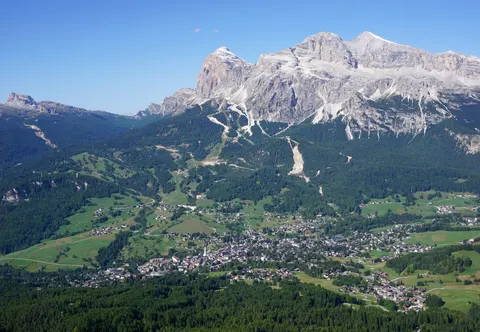
Nature and hiking trips in Villar-Saint-Pancrace
June is the ideal month for nature and hiking trips, with average highs of 19 °C.
Find tours and tickets: Nature and hiking trips in Villar-Saint-Pancrace