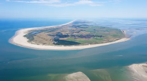

Vlieland is a municipality and island in the northern Netherlands, one of the West Frisian Islands lying in the Wadden Sea. It is the second island from the west in that chain, between Texel and Terschelling. The municipality is the second most sparsely populated in the Netherlands, after Schiermonnikoog.
About 1,025 people live in Vlieland, in the Netherlands.
Why go to Vlieland?
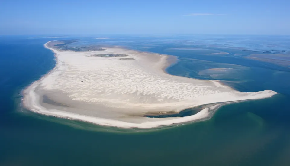
The island is mostly sand dunes, with some wooded areas and small meadows, and its western part consists mainly of sand. Its one village, Oost-Vlieland, is the only settlement left after West-Vlieland was lost to the sea in 1736. Richel, a permanently dry sandbank, is administered by the municipality. During the Second World War the island became part of the German Atlantic Wall, with two anti-aircraft batteries and more soldiers than inhabitants. The island has a distinct history that continues to shape its landscape.
When is the best time to visit Vlieland?
Expect daytime highs of about 18 °C in August, falling to 5 °C in February. If you are after nature and hiking trips, aim for July, August and September.
How do I get to Vlieland without flying?
You can get to Vlieland without changing from 2 destinations, by ferry. With changes, Vlieland is within 14 hours of 1,339 destinations without flying. From Leeuwarden, it takes 2h 06m by ferry with Doeksen + Arriva, with about 1 kg of CO₂ per person. Travelling from Franeker, allow 2h 00m by ferry with Doeksen + Arriva; that is about 0.6 kg of CO₂ per person.
What to do in Vlieland
Duinen Vlieland
A park in Vlieland.
Museum Tromp's Huys
A museum in Vlieland.
Nature and hiking trips in Vlieland
August is the ideal month for nature and hiking trips, with average highs of 18 °C.