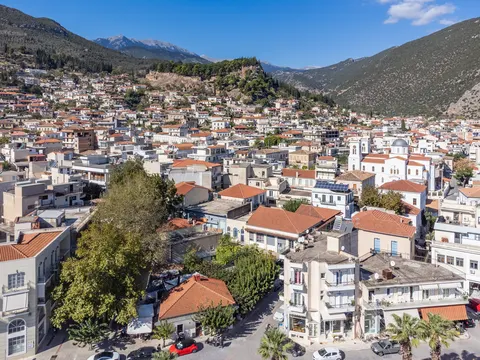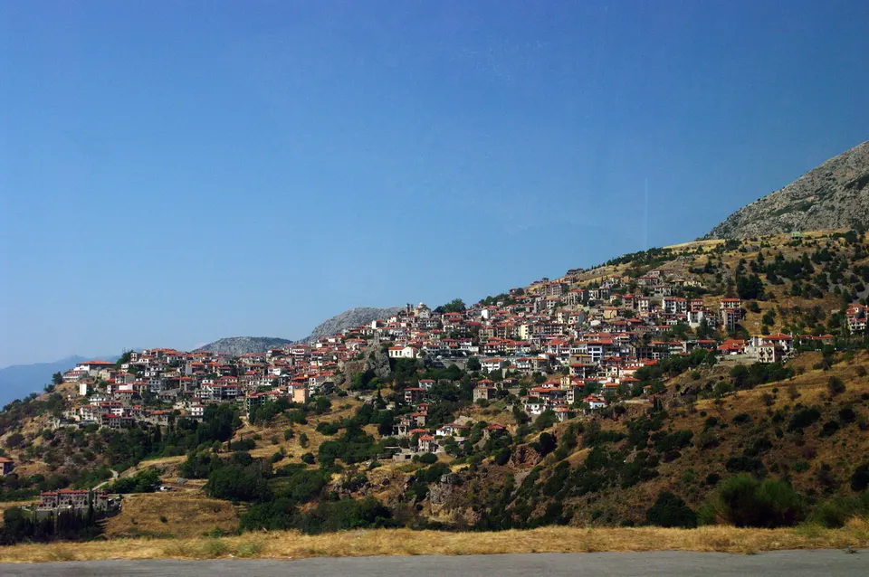

People come to Aráchova for nature and hiking trips. Look out for Μνημείο Γεωργίου Καραϊσκάκη. UNESCO lists archaeological Site of Delphi as a World Heritage Site, 7.3 km from the centre.
With about 2,439 inhabitants, Aráchova lies in Central Greece, Greece.
When is the best time to visit Aráchova?
Average highs range from 7 °C in January and February to 24 °C in July and August. May, June and September are the time for nature and hiking trips.
How do I get to Aráchova without flying?
Direct bus services link Aráchova with 3 destinations. Allowing for changes, 87 destinations are no more than 14 hours away without flying. Livadeiá is 1h 12m away by bus, with about 0.7 kg of CO₂ per person. The bus from Ámfissa takes 30 min; that is about 0.5 kg of CO₂ per person. From Itéa, it takes 36 min by bus, with about 0.4 kg of CO₂ per person.
What to do in Aráchova
Μνημείο Γεωργίου Καραϊσκάκη
A monument in Aráchova.
archaeological Site of Delphi
A UNESCO World Heritage Site 7.3 km from the centre.
Nature and hiking trips in Aráchova
May is the ideal month for nature and hiking trips, with average highs of 18 °C.