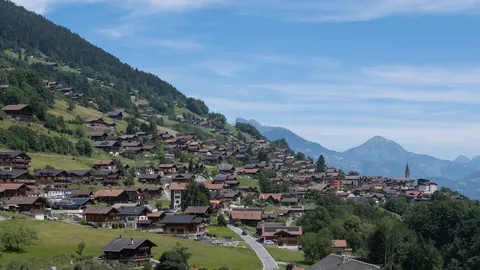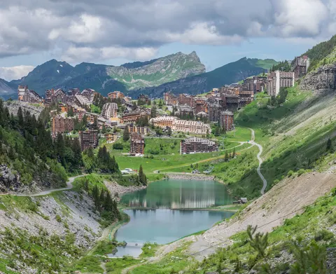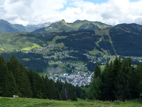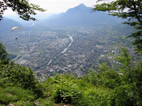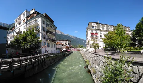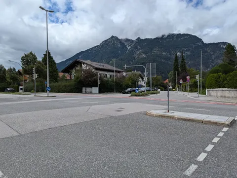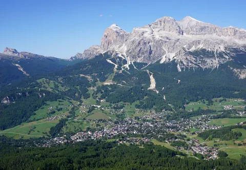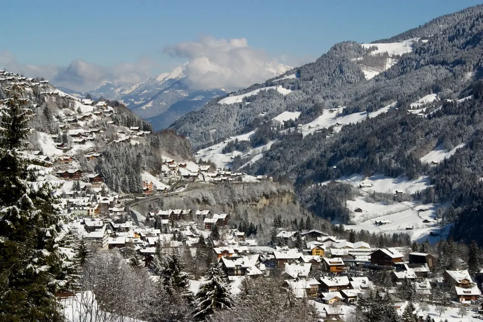

People come to Champéry for skiing and nature and hiking trips. Look out for Croix de Culet.
With about 1,191 inhabitants, Champéry lies in Valais, Switzerland.
When is the best time to visit Champéry?
Average highs range from 0 °C in January to 21 °C in July. Skiing works best in January, February and December. June, July and August are the time for nature and hiking trips.
How do I get to Champéry without flying?
Only one direct bus link serves Champéry. Allowing for changes, 2,080 destinations are no more than 14 hours away without flying. Troistorrents is 3 min away by bus with Transports Publics du Chablais (Bus), with about 0.2 kg of CO₂ per person.
What to do in Champéry
Croix de Culet
A mountain in Champéry.
Skiing in Champéry
January is the ideal month for skiing, with average highs of 0 °C.
Nature and hiking trips in Champéry
June is the ideal month for nature and hiking trips, with average highs of 18 °C.