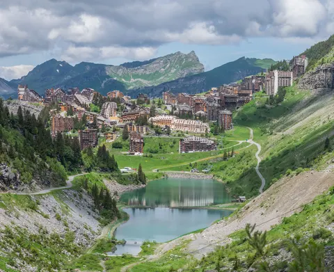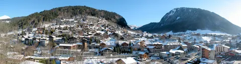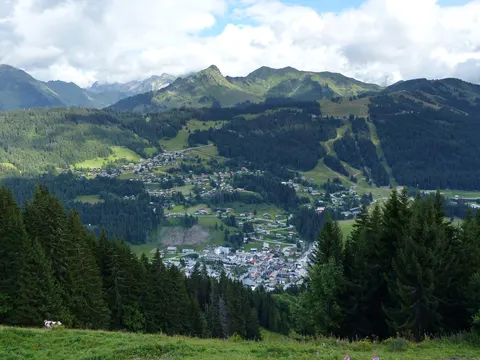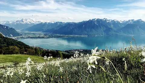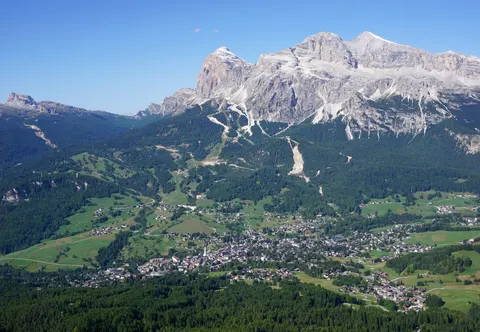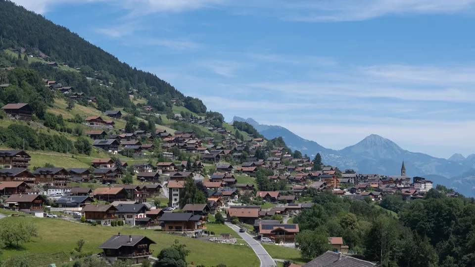

For skiing and nature and hiking trips, Troistorrents is well worth a look. Its landmarks include Pointe de Bellevue and Bec du Corbeau.
Troistorrents, in Valais, Switzerland, is home to about 3,873 people.
When is the best time to visit Troistorrents?
In July and August the average high reaches 22 °C; in January and December it is closer to 2 °C. If you are after skiing, aim for January, February and December. Nature and hiking trips work best in May, June and September.
How do I get to Troistorrents without flying?
Troistorrents has direct bus or train links to 3 destinations. Within 14 hours, travellers from 2,096 destinations can get here without flying. The bus from Châtel with Transports Publics du Chablais (Bus) takes 5 min; that is about 0.2 kg of CO₂ per person. Monthey is 3 min away by bus with Transports Publics du Chablais (Bus), with about 0.1 kg of CO₂ per person. Travelling from Champéry, allow 3 min by bus with Transports Publics du Chablais (Bus); that is about 0.2 kg of CO₂ per person.
What to do in Troistorrents
Pointe de Bellevue
A mountain in Troistorrents.
Bec du Corbeau
A mountain in Troistorrents.
Skiing in Troistorrents
January is the ideal month for skiing, with average highs of 2 °C.
Nature and hiking trips in Troistorrents
June is the ideal month for nature and hiking trips, with average highs of 19 °C.
Find tours and tickets: Nature and hiking trips in Troistorrents