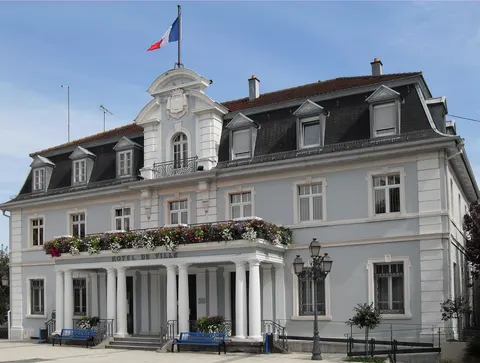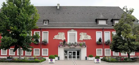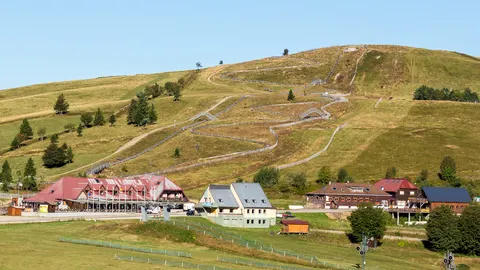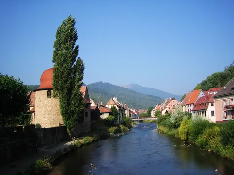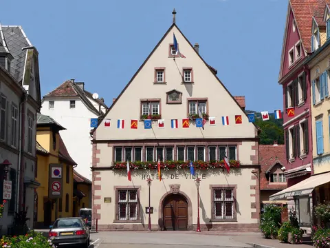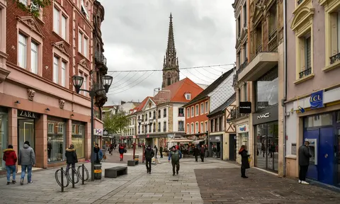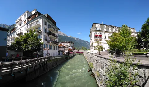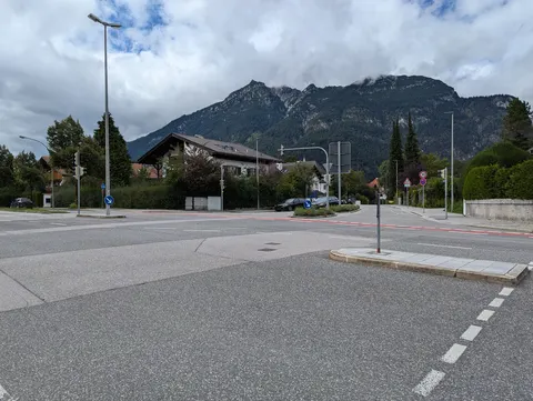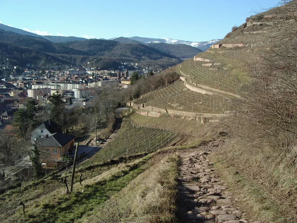

Guebwiller is a commune in the Haut-Rhin department of northeastern France, at the foot of the Vosges mountains about 20 km northwest of Mulhouse. The Ballon de Guebwiller, the highest point in the Vosges, lies to its west. It was a sub-prefecture of the department until recently, and it is the centre of an urban area with about 29,000 inhabitants.
Guebwiller is in Grand Est, France, and has a population of about 13,000.
Why go to Guebwiller?
Guebwiller belonged to the religious foundation of Murbach, and in 1759 its abbots chose the town as their residence, so its history is tied to that monastery. When the French Revolution broke out in 1789, the monastic buildings were already in ruins, and the archives were rescued and moved to Colmar. The Ballon de Guebwiller, the highest point in the Vosges, lies about 8 km to the west of the town.
When is the best time to visit Guebwiller?
July and August are the warmest, with highs of about 23 °C, and January is the coolest, at about 4 °C. For nature and hiking trips, go in May, June and September.
How do I get to Guebwiller without flying?
Guebwiller has one direct link, by bus. Counting connections, 1,974 destinations can reach it within 14 hours without flying. Travelling from Le Markstein, allow 1h 12m by bus; that is about 0.4 kg of CO₂ per person.
What to do in Guebwiller
Ballon de Guebwiller
The highest point in the Vosges, lying about 8 km west of the town.