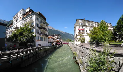
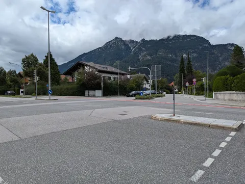
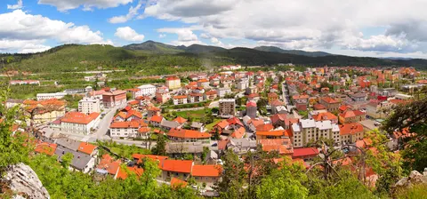
People come to Hermeskeil for nature and hiking trips. Look out for Bahnbetriebswerk Hermeskeil.
With about 5,710 inhabitants, Hermeskeil lies in Rheinland-Pfalz, Germany.
When is the best time to visit Hermeskeil?
Average highs range from 3 °C in January and December to 21 °C in July. June, July and August are the time for nature and hiking trips.
How do I get to Hermeskeil without flying?
There are no direct train, bus or ferry links to Hermeskeil yet. The trip planner can still look for a route with changes.
What to do in Hermeskeil
Bahnbetriebswerk Hermeskeil
A museum in Hermeskeil.
Nature and hiking trips in Hermeskeil
June is the ideal month for nature and hiking trips, with average highs of 18 °C.
Find tours and tickets: Nature and hiking trips in Hermeskeil
Compare the trip with flying
The trip planner compares train, bus and ferry options to Hermeskeil with a flight, including CO₂.