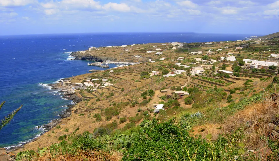

Pantelleria is an island and comune in the Strait of Sicily in the Mediterranean, lying closer to the Tunisian coast than to Sicily. Administratively it belongs to the Province of Trapani in the autonomous region of Sicily. It is the largest volcanic satellite island of Sicily, and its last eruption came below sea level in 1891.
With about 6,044 inhabitants, Pantelleria lies in Sicily, Italy.
Why go to Pantelleria?
The island's volcanic character defines it. Hot springs and fumaroles are still present, and Specchio di Venere is a soda lake. The highest peak, the Montagna Grande, rises 836 m above sea level. The islanders speak Pantesco, a dialect of Sicilian influenced by Arabic, and most of the island's place names are of Semitic origin. Scattered across the island are the dammusi, one-level dry stone houses with thick black walls and white domes. On clear days Tunisia is visible from the island.
When is the best time to visit Pantelleria?
Average highs range from 14 °C in January, February and March to 26 °C in August. For nature and hiking trips, any month of the year works.
How do I get to Pantelleria without flying?
There are no direct train, bus or ferry links to Pantelleria yet. The trip planner can still look for a route with changes.
What to do in Pantelleria
Castello de Pantelleria
A castle in Pantelleria.
Sese Grande
A monument in Pantelleria.
Nature and hiking trips in Pantelleria
May is the ideal month for nature and hiking trips, with average highs of 19 °C.
Find tours and tickets: Nature and hiking trips in Pantelleria