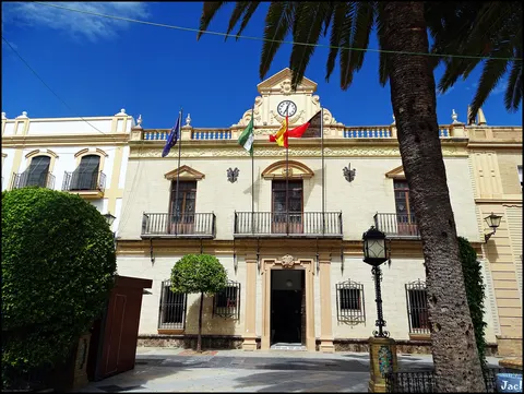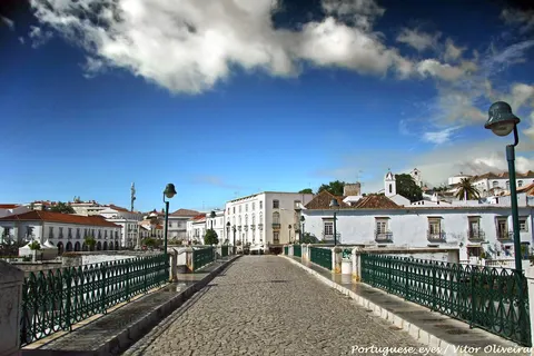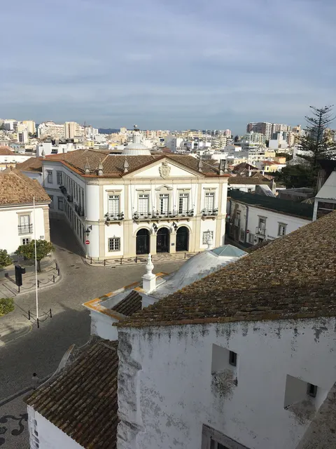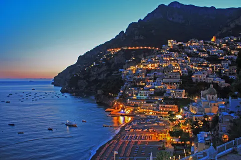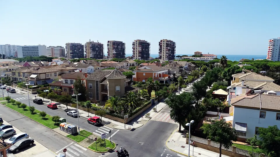

Punta Umbría is a town and municipality in the province of Huelva, in the Spanish region of Andalusia. It is a fishing village on the banks of the Odiel river, and it faces Isla Saltes. Extensive salt marshes surround it.
With about 15,000 inhabitants, Punta Umbría lies in Andalusia, Spain.
Why go to Punta Umbría?
The town takes its name from the long point that runs out from the beach into the sea. Punta Umbría Beach is a 3.8 km urban beach where the Odiel river meets the Atlantic, and it holds a Blue Flag for its cleanliness and facilities. Huelva, the capital, lies across the water. During World War II, the body of a supposed British major carrying false top secret documents washed up here, part of a disinformation exercise by the British secret service known as Operation Mincemeat.
When is the best time to visit Punta Umbría?
Average highs range from 15 °C in January to 31 °C in July and August. May, June and September are the time for beach holidays.
How do I get to Punta Umbría without flying?
Only one direct bus link serves Punta Umbría. Allowing for changes, 247 destinations are no more than 14 hours away without flying. Ayamonte is 1h 00m away by bus, with about 1.1 kg of CO₂ per person.
What to do in Punta Umbría
Casa Museo de los Ingleses
A museum in Punta Umbría.
Torre Almenara
A castle in Punta Umbría.
Beach holidays in Punta Umbría
June is the ideal month for beach holidays, with average highs of 28 °C.