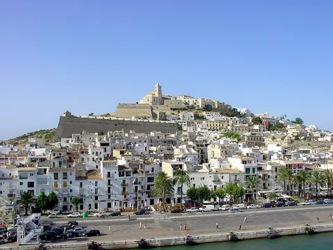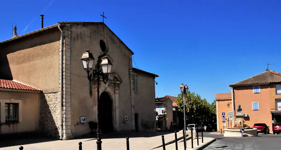

Rognac is a commune in the Bouches-du-Rhône department of the Provence-Alpes-Côte d'Azur region in southern France. It lies to the east of the Étang de Berre. The commune is part of the Aix-Marseille-Provence Metropolis.
Rognac, in Provence-Alpes-Côte d'Azur, France, is home to about 12,000 people and works as a rail hub.
Why go to Rognac?
Rognac lies to the east of the Étang de Berre and north of Marseille Provence Airport, which places it between the lake and the airport. It is part of the Aix-Marseille-Provence Metropolis.
When is the best time to visit Rognac?
In July and August the average high reaches 30 °C; in January it is closer to 10 °C. Beach holidays work best in May, June and September.
How do I get to Rognac without flying?
Rognac has direct train links to 3 destinations. Within 14 hours, travellers from 1,987 destinations can get here without flying. The train from Avignon with ZOU ! TER takes 1h 25m; that is about 0.2 kg of CO₂ per person. Arles is 36 min away by train with SNCF VOYAGEURS, with about 0.1 kg of CO₂ per person. Travelling from Vitrolles, allow 3 min by train with SNCF VOYAGEURS; that is about 0 kg of CO₂ per person.
What to do in Rognac
Base Nautique
A tourist attraction in Rognac.
Tour Chappe
A monument in Rognac.
Beach holidays in Rognac
June is the ideal month for beach holidays, with average highs of 27 °C.