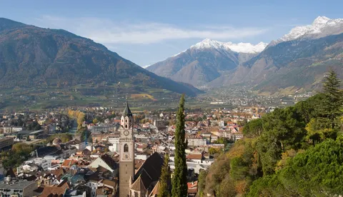
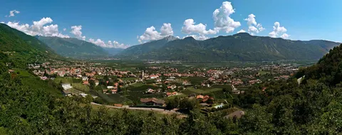
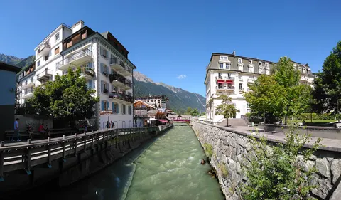
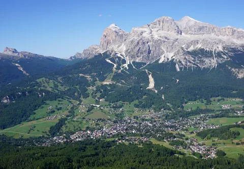
Senales, known in German as Schnals, is a comune in the autonomous province of South Tyrol in northern Italy. It lies about 40 km northwest of Bolzano, on the border with Austria, and the municipality includes large parts of the Schnalstal. It borders Kastelbell-Tschars, Latsch, Mals, Moos in Passeier, Naturns, Partschins, Schlanders and Sölden in Austria.
About 1,394 people live in Senales, in Trentino-Alto Adige, Italy.
Why go to Senales?
The municipality covers 211.2 square kilometres, and it had a population of 1,345 in 2010. Its territory takes in large parts of the Schnalstal, a valley that runs toward the border with Austria.
When is the best time to visit Senales?
Expect daytime highs of about 20 °C in July and August, falling to -2 °C in January. For skiing, go in January, February and December. If you are after nature and hiking trips, aim for June, July and August.
How do I get to Senales without flying?
Only one direct bus link serves Senales. With changes, Senales is within 14 hours of 2,102 destinations without flying. From Merano, it takes 33 min by bus with altoadigemobilità, with about 0.5 kg of CO₂ per person.
What to do in Senales
archeoParc Schnalstal - Ötzi Museum
A museum in Senales.
Assumption of Mary church
A church in Senales.
Saint Catherine church
A church in Senales.
Skiing in Senales
January is the ideal month for skiing, with average highs of -2 °C.
Nature and hiking trips in Senales
July is the ideal month for nature and hiking trips, with average highs of 20 °C.