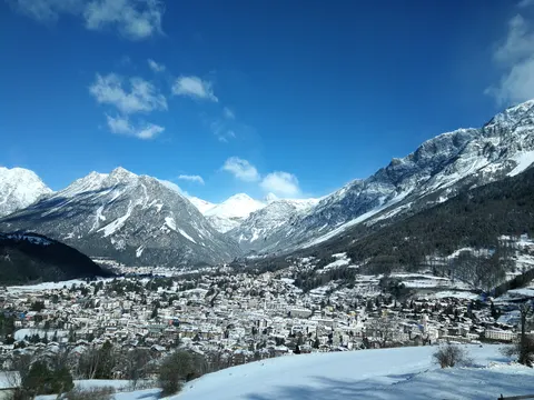
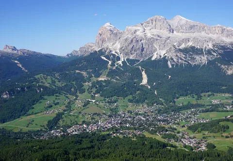
Stilfs is a municipality in the province of South Tyrol in northern Italy, located near the northern ramp of the Stelvio Pass. The pass gives its name to the wider area.
Stelvio, in Trentino-Alto Adige, Italy, is home to about 444 people.
Why go to Stelvio?
The main thing to know about the place is its position at the northern foot of the Stelvio Pass, on the road that climbs over the mountains from South Tyrol. The municipality belongs to the province of South Tyrol in northern Italy.
When is the best time to visit Stelvio?
In July and August the average high reaches 20 °C; in January and December it is closer to -1 °C. If you are after skiing, aim for January, February and December. Nature and hiking trips work best in June, July and August.
How do I get to Stelvio without flying?
Stelvio has direct bus links to 3 destinations. Within 14 hours, travellers from 1,250 destinations can get here without flying. The bus from Bormio takes 36 min; that is about 0.5 kg of CO₂ per person. Pejo is 1h 00m away by bus, with about 0.6 kg of CO₂ per person. Travelling from Solda, allow 15 min by bus with altoadigemobilità; that is about 0.2 kg of CO₂ per person.
What to do in Stelvio
Piz Sielva
A mountain in Stelvio.
Saint John Abbey
A UNESCO World Heritage Site 8.3 km from the centre.
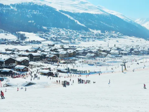
Skiing in Stelvio
January is the ideal month for skiing, with average highs of -1 °C.
Nature and hiking trips in Stelvio
July is the ideal month for nature and hiking trips, with average highs of 20 °C.