Nauders is a municipality in the district of Landeck in the Austrian state of Tyrol. It lies at 1,394 metres in the Stillebach valley, a tributary of the Inn, in the Ötztal Alps.
Nauders, in Tyrol, Austria, is home to about 1,542 people.
Why go to Nauders?
The town sits on the road that runs from Pfunds up through the narrow Finstermünz Gorge to the Reschen Pass and the border with South Tyrol in Italy. The trade route across the pass was once part of the Roman Via Claudia Augusta, and a customs station operated here in the Middle Ages. The Habsburgs built the Finstermünz fortress in the gorge in the 15th century.
When is the best time to visit Nauders?
In July and August the average high reaches 19 °C; in January it is closer to -2 °C. If you are after skiing, aim for January, February and December. Nature and hiking trips work best in June, July and August.
How do I get to Nauders without flying?
Nauders has direct bus links to 3 destinations. Within 14 hours, travellers from 2,318 destinations can get here without flying. The bus from Landeck with Verkehrsverbund Tirol takes 57 min; that is about 0.8 kg of CO₂ per person. Serfaus is 26 min away by bus with altoadigemobilità, with about 0.5 kg of CO₂ per person. Travelling from Scuol, allow 20 min by bus with PostAuto AG; that is about 0.5 kg of CO₂ per person.
What to do in Nauders
Altfinstermünz
A museum in Nauders.
Festung Nauders
A museum in Nauders.
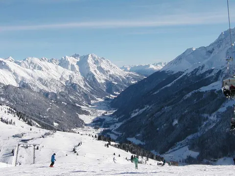
Skiing in Nauders
January is the ideal month for skiing, with average highs of -2 °C.
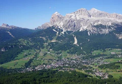
Nature and hiking trips in Nauders
July is the ideal month for nature and hiking trips, with average highs of 19 °C.