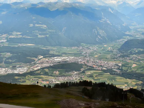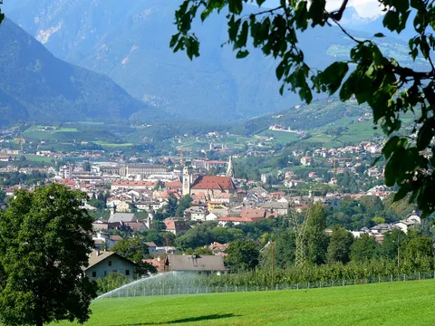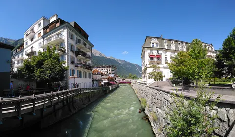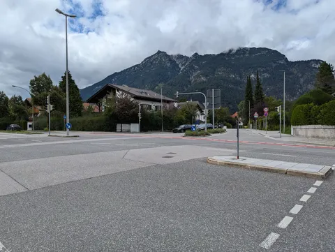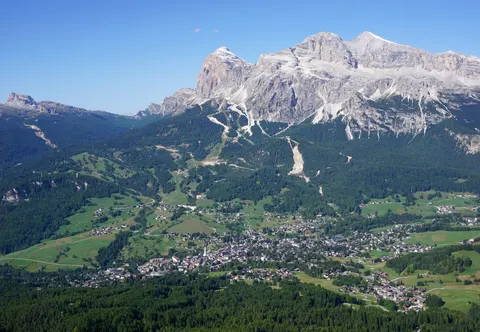

For skiing and nature and hiking trips, Valle Aurina - Ahrntal is well worth a look. Keilbachspitze is among its sights.
Valle Aurina - Ahrntal, in Trentino-Alto Adige, Italy, is home to about 5,517 people.
When is the best time to visit Valle Aurina - Ahrntal?
In July and August the average high reaches 21 °C; in January it is closer to 0 °C. If you are after skiing, aim for January, February and December. Nature and hiking trips work best in June, July and August.
How do I get to Valle Aurina - Ahrntal without flying?
Valle Aurina - Ahrntal has direct bus links to 3 destinations. Within 14 hours, travellers from 2,163 destinations can get here without flying. The bus from Bressanone takes 1h 12m; that is about 1.1 kg of CO₂ per person. Brunico is 48 min away by bus, with about 0.6 kg of CO₂ per person. Travelling from Speikboden, allow 7 min by bus with altoadigemobilità; that is about 0.3 kg of CO₂ per person.
What to do in Valle Aurina - Ahrntal
Keilbachspitze
A mountain in Valle Aurina - Ahrntal.
Skiing in Valle Aurina - Ahrntal
January is the ideal month for skiing, with average highs of 0 °C.
Nature and hiking trips in Valle Aurina - Ahrntal
June is the ideal month for nature and hiking trips, with average highs of 18 °C.
Find tours and tickets: Nature and hiking trips in Valle Aurina - Ahrntal