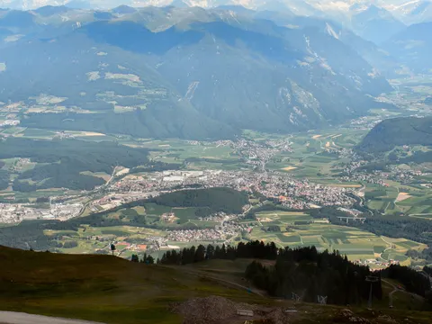
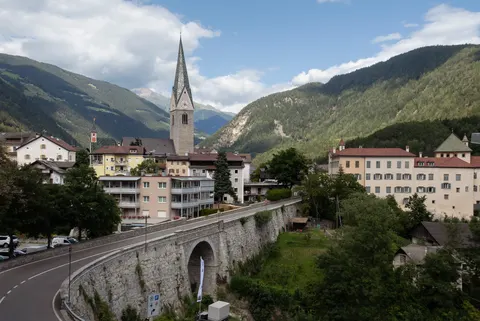
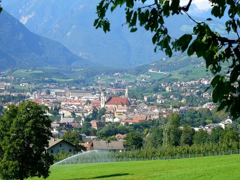
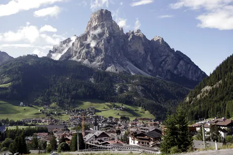
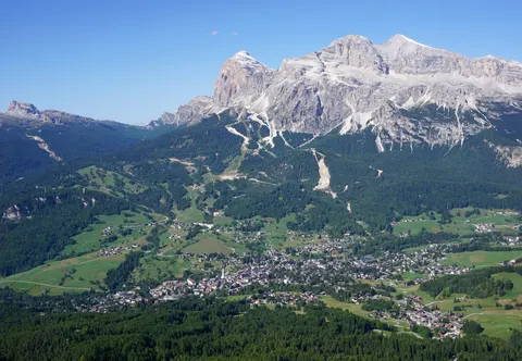
Speikboden is a massif in the Central Eastern Alps, lying between the valleys of Weißenbach, Mühlwald and Ahrntal. It runs in a south-easterly direction and forms the eastern part of an outlier of the western Zillertal Alps. Its highest point, also named Speikboden, stands at 2,517 m. Villages in the valley include Lappach, Luttach, Mühlwald, Sand in Taufers, St. Johann and Weißenbach.
Speikboden is in Italy.
Why go to Speikboden?
The massif carries a group of named peaks, among them Seewassernock, Große Nock, Kleine Nock and Gornerberg. Together they make up the mountain landscape that runs between the valleys of Weißenbach, Mühlwald and Ahrntal.
When is the best time to visit Speikboden?
July is the warmest, with highs of about 16 °C, and January and December are the coolest, at about -5 °C. February, March and November are the time for skiing. For nature and hiking trips, go in June, July and August.
How do I get to Speikboden without flying?
From 2 destinations you can travel to Speikboden directly by bus. Counting connections, 2,088 destinations can reach it within 14 hours without flying. Travelling from Brunico, allow 18 min by bus with altoadigemobilità; that is about 0.4 kg of CO₂ per person. From Valle Aurina - Ahrntal, it takes 7 min by bus with altoadigemobilità, with about 0.3 kg of CO₂ per person.
What to do in Speikboden
Waldrutschenpark Cross Woods
A tourist attraction in Speikboden.
Skiing in Speikboden
February is the ideal month for skiing, with average highs of -3 °C.
Nature and hiking trips in Speikboden
July is the ideal month for nature and hiking trips, with average highs of 16 °C.
Find tours and tickets: Nature and hiking trips in Speikboden