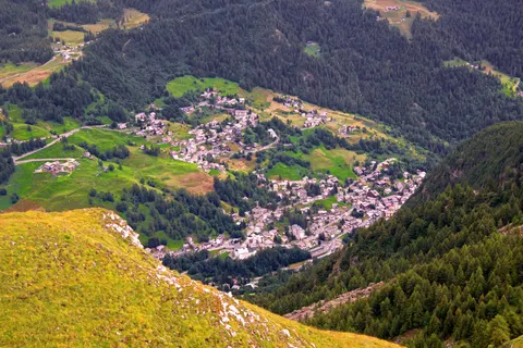
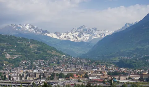
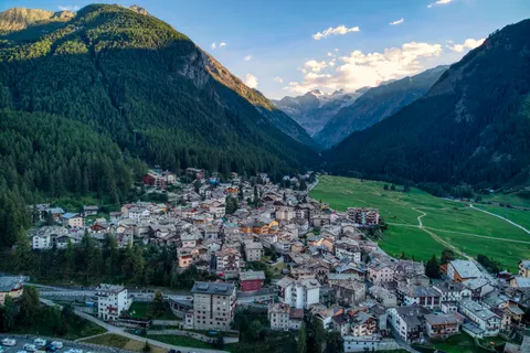
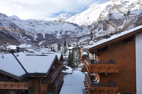
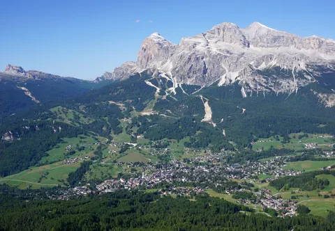
Antey-Saint-Andrè is a good choice for skiing and nature and hiking trips. Its sights include Saint Andrew's Church.
Antey-Saint-Andrè is in Aosta Valley, Italy, and has a population of about 247.
When is the best time to visit Antey-Saint-Andrè?
July is the warmest, with highs of about 22 °C, and January is the coolest, at about 1 °C. January, February and December are the time for skiing. For nature and hiking trips, go in June, August and September.
How do I get to Antey-Saint-Andrè without flying?
From 2 destinations you can travel to Antey-Saint-Andrè directly by bus. Counting connections, 1,957 destinations can reach it within 14 hours without flying. Travelling from Aosta, allow 1h 00m by bus; that is about 0.6 kg of CO₂ per person. From Valtournenche, it takes 30 min by bus, with about 0.2 kg of CO₂ per person.
What to do in Antey-Saint-Andrè
Saint Andrew's Church
A church in Antey-Saint-Andrè.
Skiing in Antey-Saint-Andrè
January is the ideal month for skiing, with average highs of 1 °C.
Nature and hiking trips in Antey-Saint-Andrè
June is the ideal month for nature and hiking trips, with average highs of 18 °C.
Find tours and tickets: Nature and hiking trips in Antey-Saint-Andrè