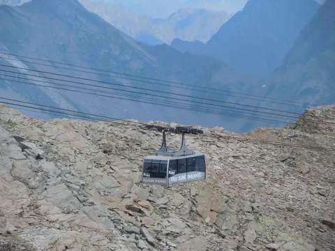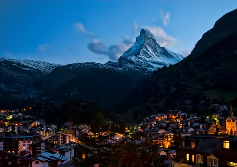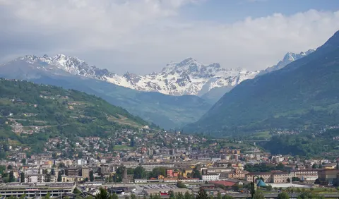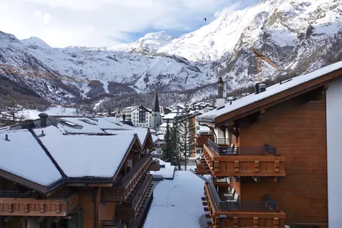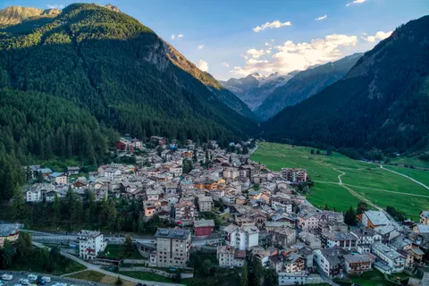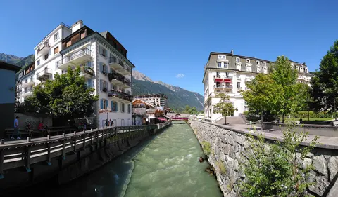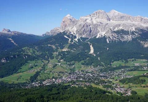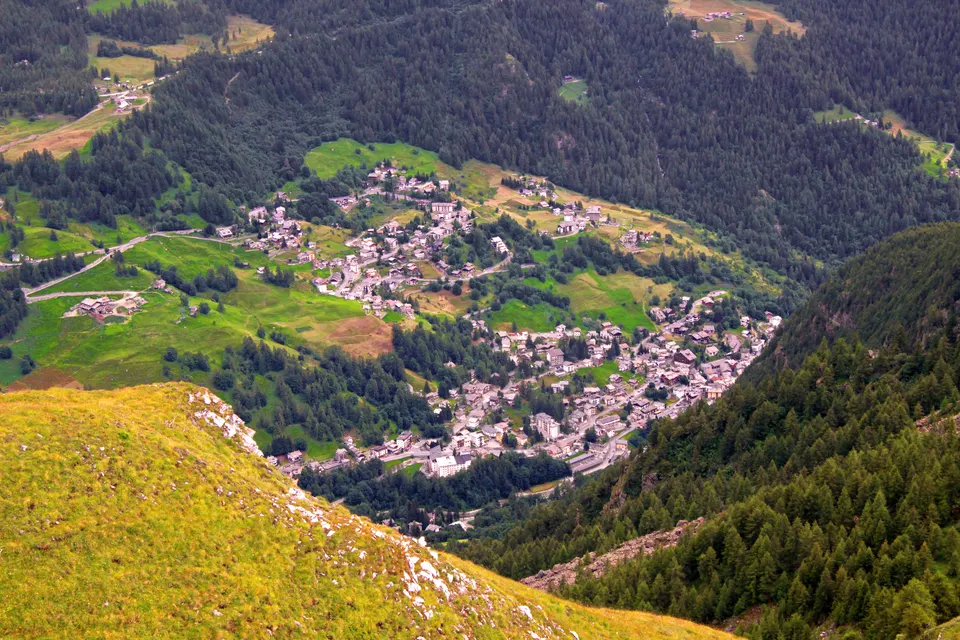

Valtournenche is a town and comune in the Aosta Valley region of north-western Italy, about 1,500 metres above sea level. It takes its name from the valley it covers, the upper part of the Valtournenche, which lies on the left side of the Dora Baltea. The municipality includes Breuil-Cervinia, a ski resort linked to Zermatt in Switzerland.
Valtournenche, in Aosta Valley, Italy, is home to about 2,198 people.
Why go to Valtournenche?
The valley runs from Châtillon up to the Matterhorn, and the municipality covers its upper part. Breuil-Cervinia, the ski resort within it, is linked to Zermatt, so its slopes continue across the Swiss border. The valley lies on the left side of the Dora Baltea, and the Matterhorn at its head gives the walk up the valley its goal. The municipality's ski area is therefore a resort that reaches over the border into another country.
When is the best time to visit Valtournenche?
In July and August the average high reaches 18 °C; in January it is closer to -3 °C. If you are after skiing, aim for January, February and December. Nature and hiking trips work best in June, July and August.
How do I get to Valtournenche without flying?
Valtournenche has direct bus links to 2 destinations. Within 14 hours, travellers from 1,909 destinations can get here without flying. The bus from Aosta takes 1h 15m; that is about 0.8 kg of CO₂ per person. Antey-Saint-Andrè is 30 min away by bus, with about 0.2 kg of CO₂ per person.
What to do in Valtournenche
Breuil-Cervinia
The ski resort in the municipality, with slopes linked to Zermatt across the Swiss border.
Matterhorn
The mountain at the head of the valley, which the valley runs up towards from Châtillon.